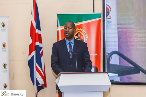
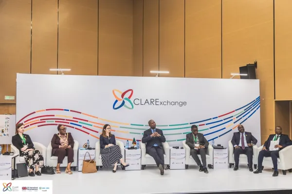
Climate Adaption and Resilience (CLARE) Project
The UK Met Office (UKMO), Climate System Analysis Group (CSAG), and The University of Zambia (UNZA) are collaborating to implement the “Methods to Enhance Capability in High-resolution information for AdaptatioN” project (hereafter MECHANICs). MECHANICS aims to further test and develop the pan-Africa km-scale (k-scale) model (CP4-Africa), initially developed through the IMPALA project, by interrogating information generated from this model in various decision contexts.
Lusaka (Zambia) is one decision context in which climate information generated using the k-scale model is being tested during MECHANICS. This is being done specifically in Kanyama and Kalikiliki Compounds. Project partners involved in MECHANICS have been working together since 2016 on activities in Lusaka that aim to integrate climate knowledge and information into decision-making through collaborative, transdisciplinary learning processes. These relationships and activities were initiated through the Future Resilience of African Cities and Lands (FRACTAL) project, which started in 2016. Flooding is a critical climate-related issue in Lusaka, which was explored during FRACTAL and a follow-on project (FRACTAL-Plus).
Urban flooding is a major development and climate challenge for low-income areas, the city’s informal settlements. MECHANICS aims to build on the knowledge generated during these projects to contribute a deeper understanding of flood risks and potential adaptation interventions in Lusaka over various timescales within specific local contexts.
Aims and Approaches
- To develop a range of decision-led K-scale Application Case Studies demonstrating if k-scale information can aid real-world evaluation of adaptation options by decision makers;
- Through the case studies, to establish and build capability in K-scale Application Teams in each focus country or region.
- To demonstrate how k-scale modelling can enhance the robustness of climate information for adaptation decision-making to guide future investment in the underpinning science, technical infrastructure and human capacity.
This project aligns to the wider CLARE values, principles, Theory of Change, and link up with cross-cutting Knowledge Management, Knowledge Brokering and Capacity Strengthening activities and strategies under the programme. There are several direct linkages across MECHANICS and the REPRESA project. It also draws on significant Africa-wide k-scale climate modelling being undertaken in the WCSSP-South Africa project and Africa climate science research being undertaken collaboratively between Met Office and partner universities, in particular on Southern Africa rainfall onset and the Congo Air Boundary at Oxford and on flooding and inundation modelling over Africa at Bristol. MECHANICS also aligns with activities of work being undertaken under the WISER Africa programme. A key aim of this programme is supporting decision making at local, national and regional levels, and through a policy and advocacy strand, it will support nations to advocate at a government level for increased investment in future Weather and Climate Information Services.
Zambia (Lusaka) Case Study Zambia’s capital city, Lusaka, like many others in Africa and developing countries around the world, has grown significantly in recent years, with much of the additional population living in unplanned settlements and the semi-rural peri-urban areas with little or only basic public infrastructure. Also, the land on which informal settlements are developed is often ill-suited to human settlement, and in Lusaka (and again in other cities), this is often due to it experiencing perennial flooding in the rainy season and a lack of reliable supply of clean and adequate water.
This results in a wide range of negative impacts, e.g., on people’s livelihoods, health (from water contamination and disease), property, children’s education, and reduced economic opportunity for the most vulnerable residents. Recent IPCC reports are clear that heavy rainfall will increase, especially in rainy seasons, and those areas which are expected to see either no change or increases in average rainfall.
This knowledge has already motivated, in the FRACTAL project, an in-depth understanding of the complex interaction between water/flooding-related issues, actors, climate, and potential solutions in informal settlements in Lusaka. This has demonstrated the drivers of and identified a range of options to alleviate flood-related risks. However, there has been a lack of high-resolution rainfall data and associated hydrological and hydraulic modelling, and connecting this with the ‘everyday experience’ of flooding within Lusaka so as to provide confidence that the results can be used to decide which possible actions to prioritise.
The issues associated with flooding in informal settlements in Lusaka have been graphically demonstrated in the most recent rainy season, which was the worst for many years and resulted in widespread significant negative impacts. The research is focusing on identification with community residents #39; flood risk and participatory mapping of these risks, identification of drivers of flood risk, and their consequences. We will use the maps to determine the socio-spatial distribution of vulnerabilities within the community (especially of marginalised people) and to connect them with and build confidence in simulations of these and past events using the k-scale reanalysis-driven simulations coupled to urban flood models. This evidence would then be used to co-develop with relevant institutional and community partners in Lusaka socially and spatially inclusive pathways to flood-resilient informal settlements and how application of k-scale projections with the urban flood modelling could be used to inform these. Thus, community surveys, focus group discussion, and interviews have been conducted to construct everyday narratives, storylines about community experiences of floods in Kanyama and Kalikiliki. This will be followed by learning labs to create safe spaces for deeper learning about flood risk and possible future scenarios and pathways to new flood futures in Lusaka. The urban analysis and social science research activities will inform decision-led k-scale modelling and k-scale applications.
To achieve this, we are working with key stakeholders and partners to ensure proper integration between everyday urban flooding realities and application of k-scale modelling. In particular, Lusaka City Council and the Disaster Management and Mitigation Unit (DMMU) have launched plans to accelerate the implementation of the Lusaka Disaster Risk Reduction Strategy (DRR) to build resilience to urban flooding in local communities of Lusaka. The plan for addressing urban floods follows a Presidential 1 directive in 2023 for DMMU and LCC to address urban flooding challenges at the neighbourhood scale. Lusaka City Council is also using part of the Constituency Development Fund (CDF) to accelerate implementation of the City’s approved slum upgrading strategy as part of the measures to address urban flooding and improve service delivery in several informal settlements in the city, including with neighbourhood roads and drainage infrastructure being rolled out. This research will also inform the implementation processes of the Lusaka DRR strategy.
The measures on urban flooding in Lusaka are being pursued in parallel with the ongoing formulation of a city-wide Integrated Development Plan (IDP) and the Lusaka city regional development plan, both incorporate findings and policy recommendations from FRACTAL. This case study would inform the implementation of these development plans at the neighbourhood (ward) level. This would also generate evidence to inform resource mobilisation and allocation by central government and the formulation of IDPs in other locations in Zambia.